|
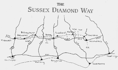
[The Sussex Diamond Way]
[The Wey-South Path] [The Essex Way] [Links] [Stour & Orwell] [Thanet Coast Path] [Grand Union] [Wealdway] [HWLT] [SDW] [Elham] [Regents Canal] [1066] [SSW] [PW NCP] [Cotswold] [SVW] [DVP] [SBP] [Thames] [SWCP] [Gipping Valley River Path] [Speyside] [Three Castles Path] [GGW] [Eden] [NDW] [Capital Ring / Parkland Walk] [MVW] [The Loop] [Ridgeway] [TWC] [RMCP] [SMW] [Fife Coastal Path] [OVW] [Vanguard] [Lea Valley Walk] [Resources] [Greensand Way] [The Monarch's Way] [E2] [Sandlings Walk] [Solent Way] [Weavers Way] [Fynn Valley Way] [Scafell Pike] [Snowdon] [Ben Nevis] [Pentland Hills] [Hangers Way] [Staunton Way] [Downs Link] [Airdrie Bathgate Cycle Path] [Thames Down] [Marriot's Way] [Bournemouth Coast Path] [Forest Way] [Icknield Way] [Suffolk Coast Path] [Angles Way] [River Parrett Trail] [New River Path] [Stour Valley Path] [St Edmund Way] [Centenary Walk] [John Muir Way] [Paston Way] [East Mendip Way] [Orford Ness] [Lindisfarne] [Southern Upland Way] [Berwickshire Coastal] [Beverley Brook Walk] [Chess Valley Walk] [West Mendip Way] [Strawberry Line] [Colne Valley Trail] [Hillingdon Trail] [Huddersfield Canal Towpath Walk] [Trans Pennine Trail] [Pennine Way] [North Berwick Law] [Green Chain Walk] [Ridgeway London] [Waterlink Way] [Greenwich Meridian Trail] [Shuttle Riverway] [Kelvin Walkway] [Clyde Walkway] [Union Canal Walk] [New Lipchis Way] [Brent River Park Walk] [Dog Rose Ramble] [Pymme's Brook Trail] [Dollis Valley Greenwalk] [Wandle Trail] [Celandine Route] [Paths to Prosperity] [Snaefell]
|
Midhurst W. Sussex to Heathfield, E. Sussex - 96 Km / 60 Miles, devised by the Sussex Area Ramblers Association.
Lindfield to HeathfieldTuesday 20 May 2008 - 21 MilesID20052008#17 Started walk. A late start, from Lindfield at 1300 after walking from Haywards Heath Railway Station. I have been very apprehensive of this route, as for some reason it is not on OS mapping and is also not waymarked, although appears on East and West Sussex County Websites. Some people think that it adds to the 'challenge' but it just makes for stressful 'which way now?' and 'I think we have gone the wrong way!' situations...anyhow, with a red hot compass, guide book and two skulls on the case (for once had a walking companion) we cracked it, although didn't finish till 2100, still averaging 2.5 mph. Beautiful and varied countryside, with a good critter count, it is certainly worth doing.
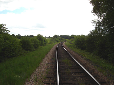
Crossing the Bluebell Raiway. Just missed a train coming through (Heard the whistle).
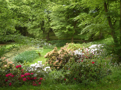
Pretty flowers at Kidborough Farm (then got lost!)
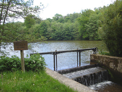
Weir at Sheffield Mill Farm
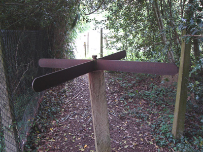
Unusual Turnstile, same location
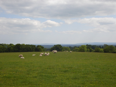
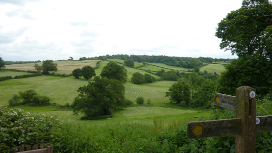
South Downs in distance. Reference point for directions.
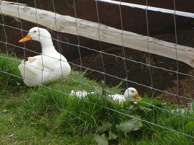
Goslings - so sweet!
Ashdown Forest near Duddleswell. Very pretty but the muppets in charge apparently consider waymarkers 'unsightly' - so apparently getting lost is less important to them. We only made it by being extremely vigilent and painstaking in our observations - not very relaxing.
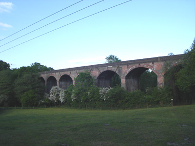
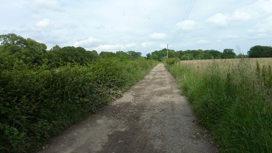
Viaduct on the Uckfield line, near 'Sleeches' No more pictures for the rest - just busy routemarching!
Midhurst to BillingshurstSaturday 23 June 2012 - 17 MilesID23062012#35 Blimey - it took four years to get back to this one! I now have a 23 Mile gap as I chose to do the most west section this time. After getting the train to Chichester I got the 60 to Midhurst bus station and it is a very convenient place to start walking, as you just head straight towards the remains of Cowdray Castle, then passing by the Polo Club, following a driveway and cutting across fields to cross the A272, then a bastard walk across a golf course where I got lost and ended up walking over the fairway with a lot of overexcited golfers, eventually getting back on track but the cunts should make an effort to make the public footpath easy to follow not just hope that you wont bother, so I was pretty hacked off. When I calmed down I followed field margins to reach a bridleway, which in my fugue was followed the wrong way, to reach a lane, which I then joined and got back on track again, muttering away to myself 'like' a simpleton... in Lodsworth I regrouped and managed to keep on track from then on, with some rather undulating paths, crossing the river Lod and a rerouted section round by Pitshill House, which means that a chunk of the guide book is now gibberish. A nice section down towards Petworth with lovely views, and the fascinating church in pretty Tillington - but a boring road walk along the A272 to pass Pethworth House (National Trust) and a welcome break for lunch in Petworth by the Coop where I availed myself of an ice cold Lucozade. You share some of this section with the Serpents Trail. Fortified I pushed on, with more undulating shenanigans, walking along Kingspit Lane and joining a bridleway through Flexham Park, followed for .75 mile, but at the road by Crimbourne Farm it all went monkey again, as the route through the Mens was closed due to a fluxed bridge - fortunately this was pointed out on a noticeboard, so I just cut this bit out on a section of lane turning right then left to rejoin the route on the lane leading to Shipbourne Farm, then down to the Wey and Arun Canal, followed along for over a mile then bearing off near Lordings Lock to go up a headland and passing by the left of a large pond, eventually reaching the B2133, followed for a quarter mile, then woodland to reach the A29. Here the path opposite to go through Denham's Farm is actually about ten metres to the north of how it is marked on OS, but after driveways and Rosier Wood you reach a road leading to Billingshurst Station, where I left the path and after another stock up at Tesco Express, got a train back home via Gatwick Airport
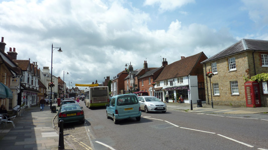
Midhurst High Street
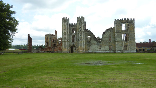
Cowdray Ruins
A272 just before that Golf Course
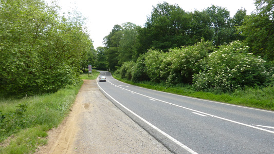
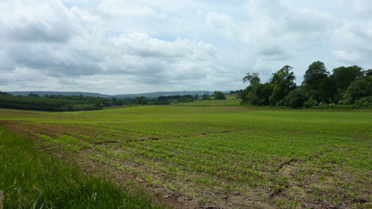
Lovely countryside after that Golf Course
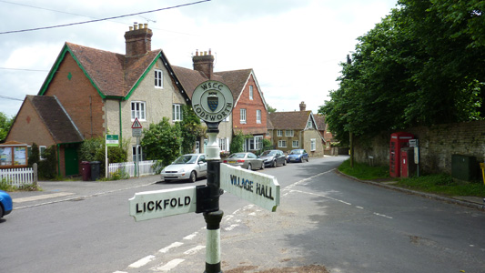
Lodsworth and a mental detox
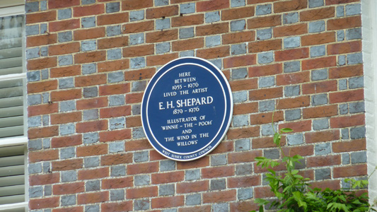
Blue Plaque
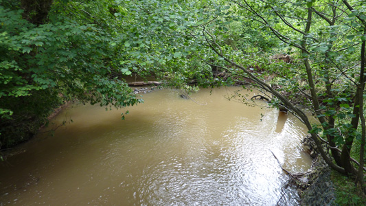
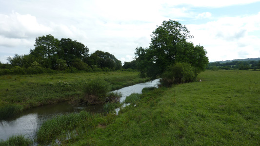
The muddy river Lod
Pitshill House and rerouting shenigans
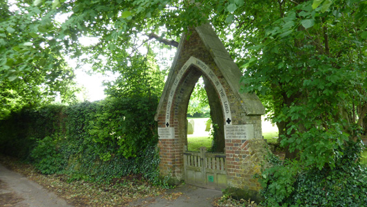
Tillington Cemetery
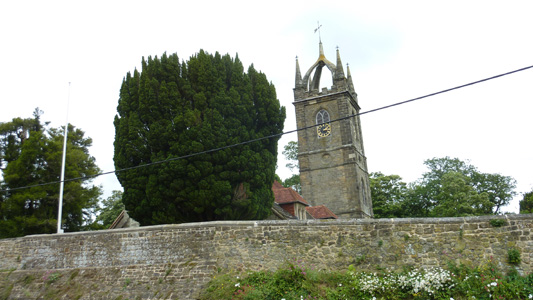
Tillington Church with unusual Scots Crown
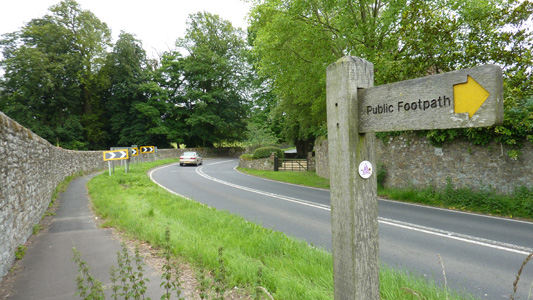
The A272 towards Petworth. Waymark for Serpents Trail on right
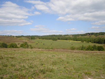
Good old rolling countryside
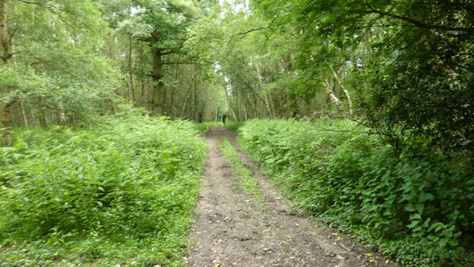
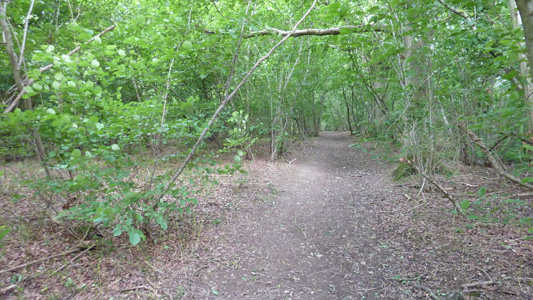
Woodland Walking
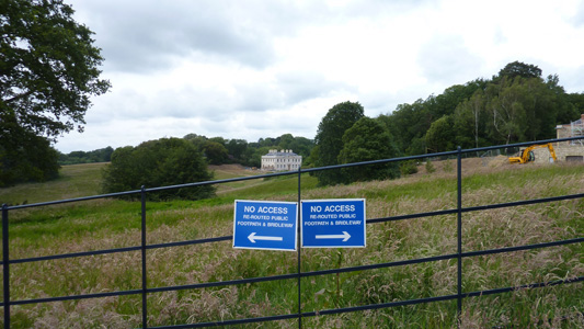
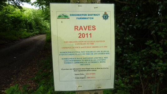
You have been warned
The closed bit starting by Crimbourne Farm - don't know how long for, but I turned right, then left at the end of the lane
Back on track near Shipbourne Farm
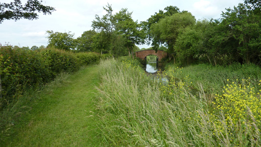
By the Wey and Arun Canal
Leaving the Wey and Arun by Flood Gate Bridge
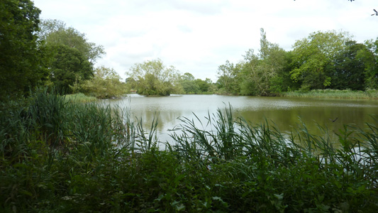
Ponds
Great Lordings Wood
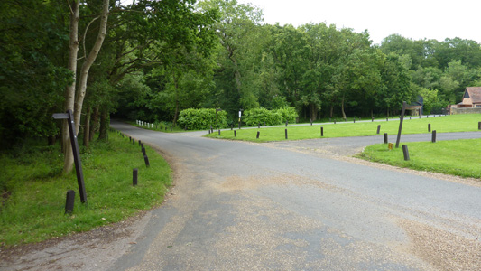
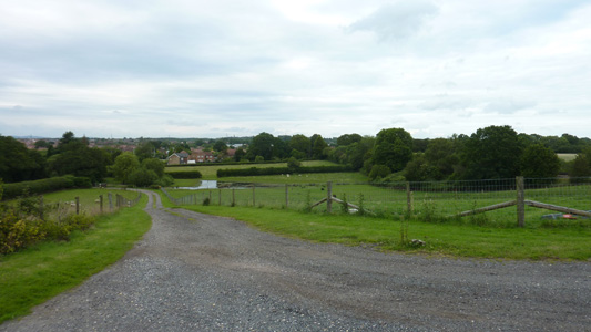
Skirting Billingshurst
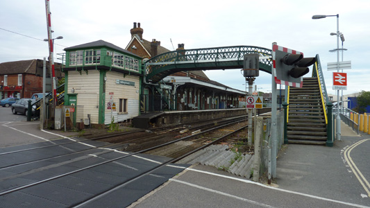
Billingshurst Station - job dun |