|
[The Sussex Diamond Way]
[The Wey-South Path] [The Essex Way] [Links] [Stour & Orwell] [Thanet Coast Path] [Grand Union] [Wealdway] [HWLT] [SDW] [Elham] [Regents Canal] [1066] [SSW] [PW NCP] [Cotswold] [SVW] [DVP] [SBP] [Thames] [SWCP] [Gipping Valley River Path] [Speyside] [Three Castles Path] [GGW] [Eden] [NDW] [Parkland] [MVW] [The Loop] [Ridgeway] [TWC] [RMCP] [SMW] [Fife Coastal Path] [OVW] [Vanguard] [Lea Valley Walk] [Resources] [Greensand Way] [The Monarch's Way] [E2] [Sandlings Walk] [Solent Way] [Weavers Way] [Fynn Valley Way]
|
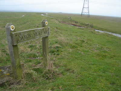
The Saxon Shore Way
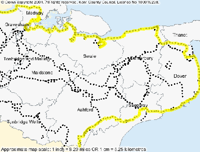
The Saxon Shore Way is a 163 mile regional path (i.e. supported and recognised by local authorities through where it runs). Waymarking can be spurious relative to a national trail but in this case is quite impressive overall. The route runs from Gravesend Kent, to Hastings, East Sussex (bleedin' handy for me) a distance of 163 miles. Following as closely as possible the Roman geography of the Kent coast (so no foray onto the isle of Thanet). I have been doing sections of this walk on and off for several years and finished April 2007. Almost entirely level walking, with some attractive scenery such as near the Swale and surprisingly pleasant urban passage through Seasalter Whitstable and into Herne Bay for example, although Sittingbourne was a bit grim. Sections walked: Rye to Hastings, Hamstreet to Rye, Sandling to Hamstreet, Deal to Dover, Sandwich to Deal, Herne Bay to Sandwich, Faversham to Herne Bay, Swale Station to Faversham, Gravesend to Strood, Strood to Swale. Coincident with North Downs Way between Dover and Sandling.
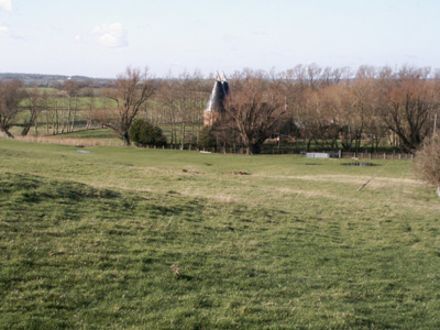
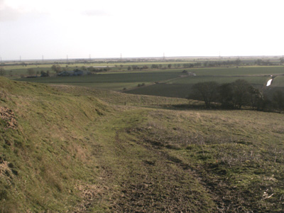
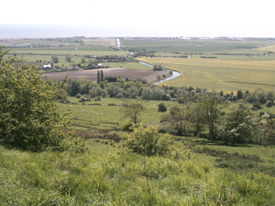
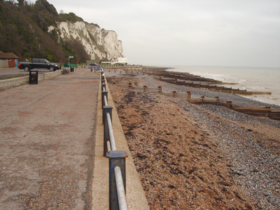
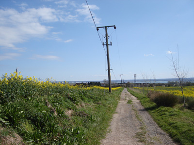
Hamstreet to Rye12 Miles
Kent Oast nr Appledore
Descending towards the RMCP (Royal Military Canal)
An attractive vista looking towards the sea walking to Hamstreet Deal to DoverSaturday 7 Jan 2006 - 10 MilesBleedin' parky!
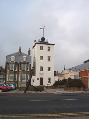
Deal time ball tower
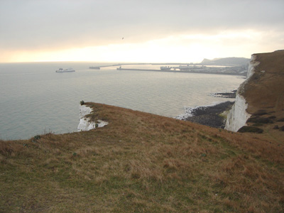
Near Dover
Dover Harbour
Near Sandwich with Isle Of Thanet and Richborough in background Sandwich to DealMonday 29 May 2006 - 6 Miles
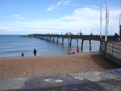
Deal Pier Herne Bay to SandwichSaturday 17 June 2006 - 18 MilesThis was scorchio - I had great difficulty with the heat - had to sit in the shade above a stream for half hour and run out of water near the end!
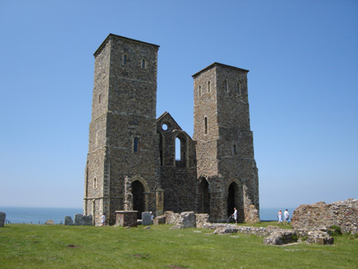
Reculver - from here the way cuts diagonally inland to Richborough
Defunct Richborough power station (apparently that Orimulsion was naughty stuff!) Faversham to Herne BaySaturday 10 March 2007 - 13.5 Miles
Oyster bay house - Faversham
Blue skies and a long way to go - near Faversham
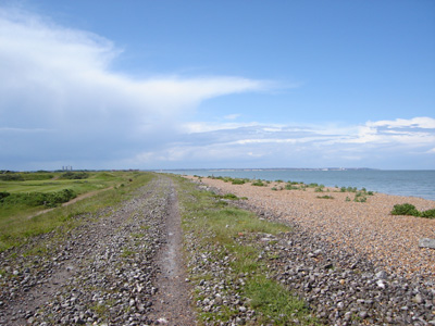
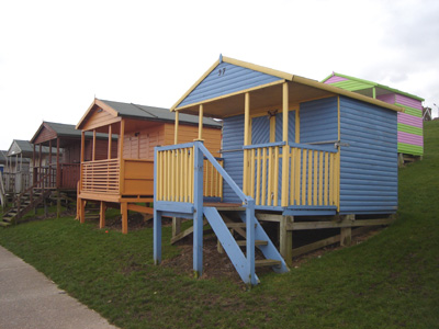
Beach huts - Tankerton Slopes Swale Station to FavershamSaturday 17 March 2007 - 17 MilesGetting a bit more industrial now - Sittingbourne a bit grotty
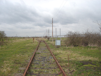
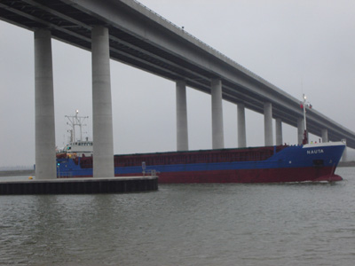
Disused sidings looking to Queensborough Bridge, Swale
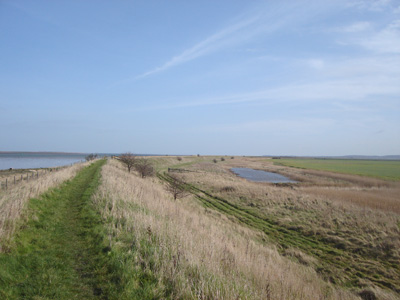
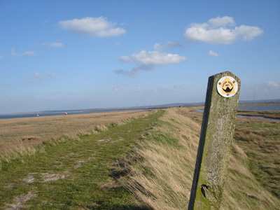
Waymarker near Harty Ferry
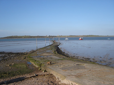
The old jetty
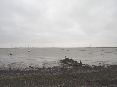
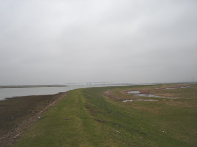
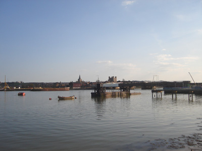
Swale near Gillingham - Thamesport far distance Strood to Swale24 March 2007 - 20 MilesThe first 5 miles are through rather grim urban areas of Strood, Rochester, Chatham and Gillingham. The rest of the walk is forutunately rural and pleasant. Got mugged by a roboschiller in Gillingham which swallowed two 20 P coins and the door would not open.
Chetney Marshes. This is a cruel section - you see the Queensborough bridge in front - but then make a huge detour round this area to reach it - several miles - but well worth it - and I don't cheat!
The last bit before Swale station...
Amazing timing - just finished and this happened! Gravesend to StroodSaturday 7 April 2007 - 18.5 MilesThe lastest dose! Very interesting with the old forts and wonderful views to the Medway. A hot 'un today. Enchanting and peaceful few minutes at Hoo St Werburgh church, watching the white doves flipping around - it was so quiet and all you could hear was their wings as they entered nooks and crannies on the bell tower. I am not religious but these moments bring a pleasant peace and calmness which is just as good if you ask me.
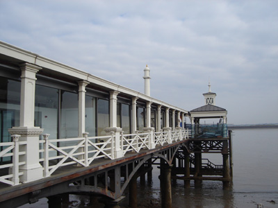
Town Pier - Gravesend. Sat here and had some brekky as I had to get a train at 7am to get here - actually reasonably pleasant. Tip - always have a mcPukes Brekky instead of Subway - the sausage fing in a roll is like cardboard, and get a great cheap coffee from a greasy spoon.
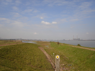
Thames near Shornmead Fort
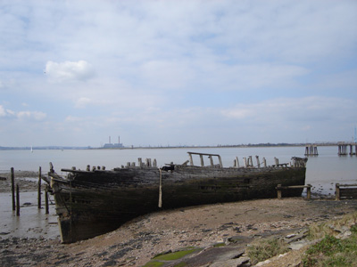
Knackered boat near Cliffe Fort
Pretty scenery at Cooling Castle
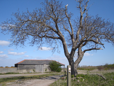
Eastborough Farm
Approaching the Medway at Hoo St Werburgh
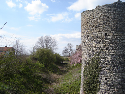
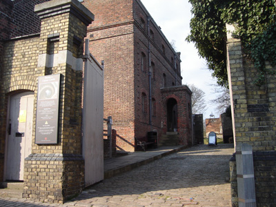
Upnor Castle and tiny high street
Medway at Strood looking to Rochester. Another one finished. Strood get 5 out of 5 baseball caps for chaviness, but at least I don't have to go there again! |